-
Notifications
You must be signed in to change notification settings - Fork 2
Localization
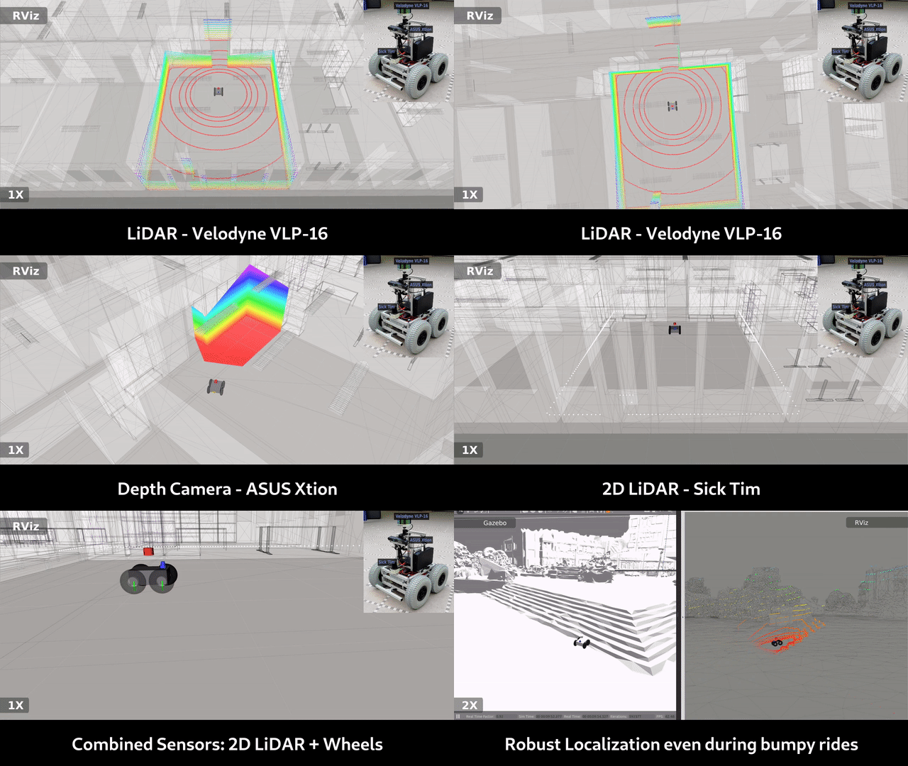
While navigating a robot to a target on the map, the robot's location relative to that map has to be known constantly. This is called localization (on a prior map). There are again many approaches to that. Monte Carlo Localization (MCL) is well known and has proven to be exceptionally robust for 2D navigation. However, it is rather computationally demanding. In 3D, it requires carefully designed software or special hardware to run online on the robot. Therefore, implementations of 3D MCL are rarely seen right now.
However, other computationally more lightweight approaches exist. For example, pose tracking in meshes using MICP-L. It assumes that the robot pose is roughly known in advance.
You can use a point cloud (PCD) map that is accurately aligned to the mesh as alternative map representation to do localization. The PCD typically comes from:
- Sampling the mesh, using tools like CloudCompare
- Using the PCD from a PCD SLAM approach before it was converted to a mesh
Here is a list of some software packages for localization on such prior PCD maps:
| Name | Code |
|---|---|
| mcl_3dl | https://github.com/at-wat/mcl_3dl |
| lidar_localization_ros2 | https://github.com/rsasaki0109/lidar_localization_ros2 |
In addition, many of the recently developed PCD SLAM packages have a localization-only mode that can be used to compute the required localization.
But beware: Using this approach for large-scale maps could cause your RAM to suffer.
If a voxel-based representation is still available you can use one of the following map-based localization approaches:
| Name | Code |
|---|---|
| TSDF MCL | https://github.com/uos/tsdf_localization |
If your mesh map is geo-referenced, you can use a GPS localization. However, GPS often lacks of accuracy at altitude / z-axis which has to be compensated. Furthermore, if the map is slightly wrong, GPS would give wrong results relative to the used map; even though its signal is optimal (!). Then, localization approaches based on matching sensor data to the map would produce more reliable results.
