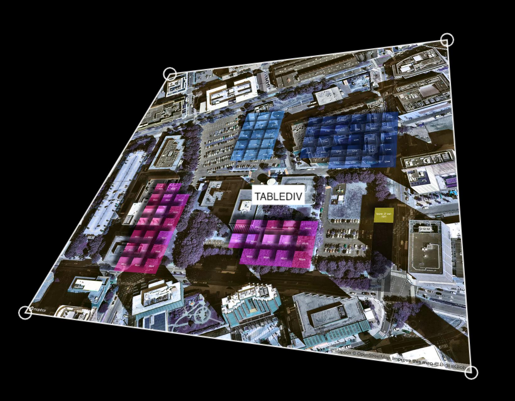
This repo contains a few boilerplate examples for CityScopeJS tables in web/browser environment. These modules should run 'out of the box' with any modern web browser. Modules are designed to work best with CityScopeJS but should accept any cityIO data if properly structured.
Modules are built to represent:
- CityScope grid retrieved from cityIO server on interval
- Visual rep. of cityIO data feature [3d model, land use or other]
- Analysis of grid+spatial data, such as: walkability, energy, mobility etc.
- nodejs (version 10 tested) (
apt install nodejs), which includenpm - parcel-bundler (
npm install -g parcel-bundler)
This module include an html5 3D view of walkability of a zone: It converts 4x4 lego bricks color coded as this:
"0000000000000000","1111111111111111","0000000011111111","1111111100000000"
into grid type "P","W",L,"G", respectively, and show these value as overlay on the map.
This is a boilerplate table module that reads cityIO data, parse it into visual grid and display it on a keystone-able div. It's meant for testing of your cityIO sent data and for further development.
- Clone, build and run using
parcel index.html - Add your cityIO endpoint table name after the URL
http://your.domian.end.point/?__YOUR_TABLE_NAME__to retrieve specific table instance - Use
shift+zto start projection mapping functionality

