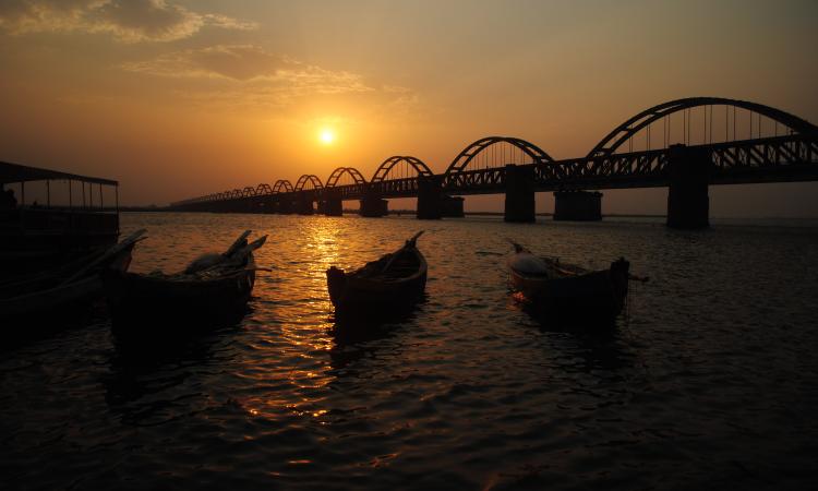
The Godavari (IAST: Godāvarī [ɡod̪aːʋəɾiː]) is India's second longest river after the Ganga and third largest in India, drains about 10% of India's total geographical area. Its source is in Triambakeshwar, Nashik, Maharashtra. It flows east for 1,465 kilometres (910 mi), draining the states of Maharashtra (48.6%), Telangana (18.8%), Andhra Pradesh (4.5%), Chhattisgarh (10.9%) and Odisha (5.7%). The river ultimately empties into the Bay of Bengal through an extensive network of tributaries. Measuring up to 312,812 sq. km, it forms one of the largest river basins in the Indian subcontinent, with only the Ganga and Indus rivers having a larger drainage basin. In terms of length, catchment area and discharge, the Godavari is the largest in peninsular India, and had been dubbed as the Dakshina Ganga (Ganges of the South).
The river has been revered in Hindu scriptures for many millennia and continues to harbour and nourish a rich cultural heritage. In the past few decades, the river has been barricaded by several barrages and dams, keeping a head of water (depth) which lowers evaporation. Its broad river delta houses 729 persons/sq. km – nearly twice the Indian average population density and has a substantial risk of flooding, which in lower parts would be exacerbated if the global sea level were to rise. The major tributaries of the river can be classified as the left bank tributaries which include the Purna, Pranhita, Indravati and Sabari River covering nearly 59.7% of the total catchment area of the basin and the right bank tributaries Pravara, Manjira, Manair together contributing 16.1% of the basin.
| Salient Features of Godavari Basin 1 | |
|---|---|
| Length of the River | 1465 (km) |
| Catchment Area | 312812 (sq. km) |
| Average Water Resource Potential | 110540 (MCM) |
| Utilizable Surface Water Resource | 76300 (MCM) |
| Live Storage Capacity of Completed Projects | 35434.00 (MCM) |
| Live Storage Capacity of Projects Under Construction | 8228.00 (MCM) |
| Total Live Storage Capacity of Projects | 43662.00 |
| No. of Hydrological Observation Stations | 77 |
| No. of Flood Forecasting Stations | 18 |

