This site showcases the work completed by our Duke of Edinburgh participants at all levels. Supported by student ambassadors from Canterbury Christ Church University, participants explore the extraordinary history of Kent and the people who have lived here, using words, images and innovative coding to bring their stories to life.
coords: 51.278128, 1.088206
eid: Q334303
St Augustine's Abbey was a Benedictine monastery in Canterbury, Kent, England. The abbey was founded in 598 and functioned as a monastery until its dissolution in 1538 during the English Reformation. After the abbey's dissolution, it underwent dismantlement until 1848. Since 1848, part of the site has been used for educational purposes and the abbey ruins have been preserved for their historical value.
coords: 51.278333, 1.0775
eid: Q29303
The first Archbishop of Canterbury, Augustine, arrived in Kent as a missionary in 597AD. The ruins of St Augustine’s Abbey are still open to visitors, on the edge of the modern city. Augustine’s original cathedral is beneath the Nave of the building we know today and in which a later Archbishop, Thomas Becket, was murdered in 1170.
coords: 51.255, 1.0205
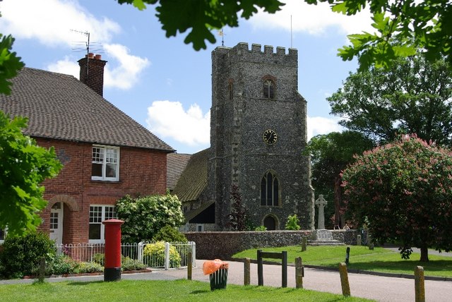
Translated as 'village on rough ground', Chartham is in the Canterbury district and the river Stour passes through both the village and the city. Chartham Mill has provided employment in paper making since 1738.
coords: 51.275236, 1.078478
The name 'Dane John' comes from the Norman word 'Donjon', which means a fortified mound.
coords: 51.2824, 1.07365
The House of Agnes is a half-timbered medieval coaching inn in the St Dunstans area of Canterbury dating from the 13th century. It takes its name from the character Agnes Wickfield, in Charles Dicken's David Copperfield.
coords: 51.385, 1.3838
Once a popular seaside resort where Victorians came to take the air, where day-trippers streamed off the London train to deposit themselves on the famous sandy beach, where poets including Keats and T. S. Eliot came to recuperate, and artists to paint the sunsets, and where Dreamland hummed with jingled music.
coords: 51.343911, 1.404031
‘Royal’ Ramsgate got its nickname from visits paid by Princess Victoria in 1835 and 1836. It was a favourite destination for Victorian holiday makers, with luminaries such as Florence Nightingale staying at the impressive Granville Hotel overlooking the sea.
coords: 51.081389, 1.164722
St Eanswythe, patron saint of Folkestone, was the granddaughter of the first English king to convert to Christianity. It was recently confirmed that her bones are still preserved in the Church of St Mary and St Eanswythe. By the late-nineteenth century this small fishing village had reinvented itself as a seaside resort, nicknamed ‘Fashionable Folkestone’.
coords: 51.276272, 1.087550
Umble Ome of Uriah Heep is the house belonging to a fictional character in the novel David Copperfield, written by Charles Dickens in 1850.
coords: 51.360694, 1.025694
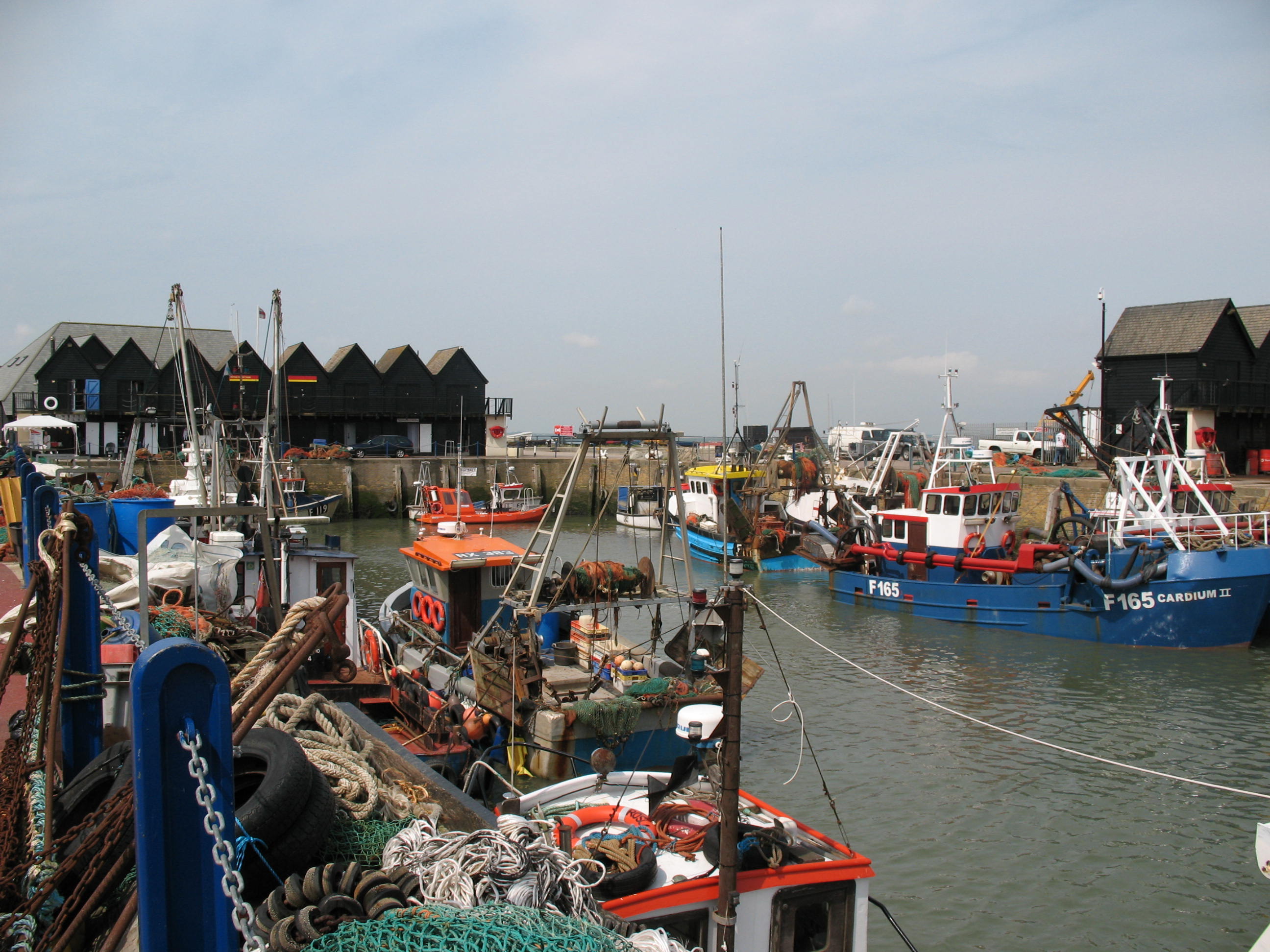
A pretty seaside town on the north coast of Kent, Whitstable is famous for oysters, the writer Somerset Maugham, the Maunsell forts nine miles from its shore and its associations with the history of diving.


