- git
- conda
git clone https://github.com/CIA-Oceanix/4dvarnet-starter.git
cd 4dvarnet-starter
conda install -c conda-forge mamba
conda create -n 4dvarnet-starter
conda activate 4dvarnet-starter
mamba env update -f environment.yaml
From the directory
wget https://s3.eu-central-1.wasabisys.com/sla-data-registry/6d/206c6be2dfe0edf1a53c29029ed239 -O data/natl_gf_w_5nadirs.nc
The model uses hydra see [#useful-links]
python main.py xp=base
A bigger model has been trained using the command
python main.py xp=base +params=bigger_model
You can find pre-trained weights here
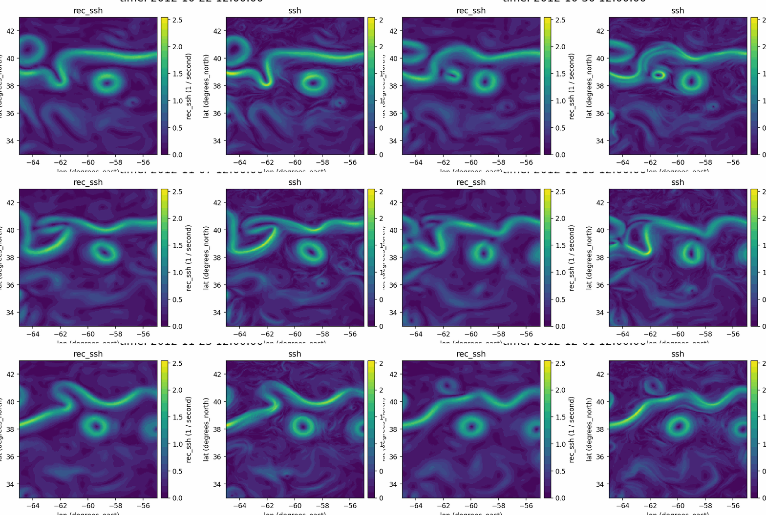
The test metrics of this model are ([see here for the details])(https://github.com/ocean-data-challenges/2020a_SSH_mapping_NATL60):
| osse_metrics | |
|---|---|
| RMSE (m) | 0.0211406 |
| λx | 0.716 |
| λt | 4.681 |
| μ | 0.96362 |
| σ | 0.00544 |
- Hydra documentation
- Pytorch lightning documentation
- 4DVarNet papers:
- Fablet, R.; Amar, M. M.; Febvre, Q.; Beauchamp, M.; Chapron, B. END-TO-END PHYSICS-INFORMED REPRESENTATION LEARNING FOR SA℡LITE OCEAN REMOTE SENSING DATA: APPLICATIONS TO SA℡LITE ALTIMETRY AND SEA SURFACE CURRENTS. ISPRS Annals of the Photogrammetry, Remote Sensing and Spatial Information Sciences 2021, V-3–2021, 295–302. https://doi.org/10.5194/isprs-annals-v-3-2021-295-2021.
- Fablet, R.; Chapron, B.; Drumetz, L.; Mmin, E.; Pannekoucke, O.; Rousseau, F. Learning Variational Data Assimilation Models and Solvers. Journal of Advances in Modeling Earth Systems n/a (n/a), e2021MS002572. https://doi.org/10.1029/2021MS002572.
- Fablet, R.; Beauchamp, M.; Drumetz, L.; Rousseau, F. Joint Interpolation and Representation Learning for Irregularly Sampled Satellite-Derived Geophysical Fields. Frontiers in Applied Mathematics and Statistics 2021, 7. https://doi.org/10.3389/fams.2021.655224.
Copyright IMT Atlantique/OceaniX, contributor(s) : M. Beauchamp, R. Fablet, Q. Febvre, D. Zhu (IMT Atlantique)
Contact person: [email protected] This software is a computer program whose purpose is to apply deep learning schemes to dynamical systems and ocean remote sensing data. This software is governed by the CeCILL-C license under French law and abiding by the rules of distribution of free software. You can use, modify and/ or redistribute the software under the terms of the CeCILL-C license as circulated by CEA, CNRS and INRIA at the following URL "http://www.cecill.info". As a counterpart to the access to the source code and rights to copy, modify and redistribute granted by the license, users are provided only with a limited warranty and the software's author, the holder of the economic rights, and the successive licensors have only limited liability. In this respect, the user's attention is drawn to the risks associated with loading, using, modifying and/or developing or reproducing the software by the user in light of its specific status of free software, that may mean that it is complicated to manipulate, and that also therefore means that it is reserved for developers and experienced professionals having in-depth computer knowledge. Users are therefore encouraged to load and test the software's suitability as regards their requirements in conditions enabling the security of their systems and/or data to be ensured and, more generally, to use and operate it in the same conditions as regards security. The fact that you are presently reading this means that you have had knowledge of the CeCILL-C license and that you accept its terms.
